


details:
Title: Rotbach-Weg
Distance: 21 km
Inclination: more Flat
Surface: asphalt, broken stones
Distance: 21 km
Inclination: more Flat
Surface: asphalt, broken stones
Information
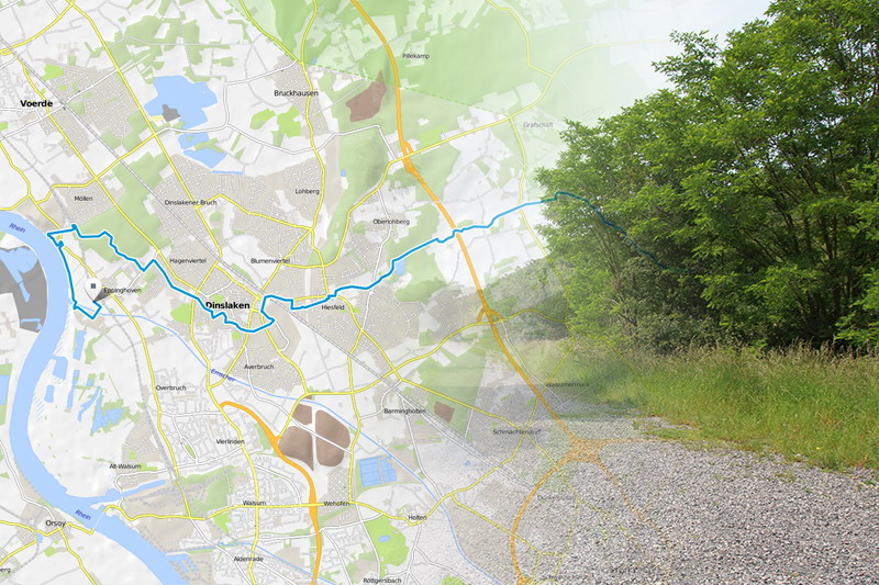
 Rotbach Way is a network of cycle paths to discover picturesque nature reserves, historic buildings and leisure opportunities around the Dinslaken Rotbach stream in the Niederrhein area. The network consists of four cycle lanes with a total length of approximately 130 kilometres and is signposted particularly well.
 Rotbach Way proper is a route of 20 kilometres, which starts at the Grafenmühle in Bottrop, continues via Dinslaken to Götterswickerhamm in Voerde, where the Rotbach leads into the mouth of the Rhine, and then turns south to end at the Emscher river mouth.
Download GPS-Track